 Lightning Tracker
Lightning map and lightning tracker: how they work
A lightning map plots flashes detected by sensor networks and satellites, usually colored by how many minutes ago they happened. Here is what those maps can and can't tell you, and how to follow storms where you are.
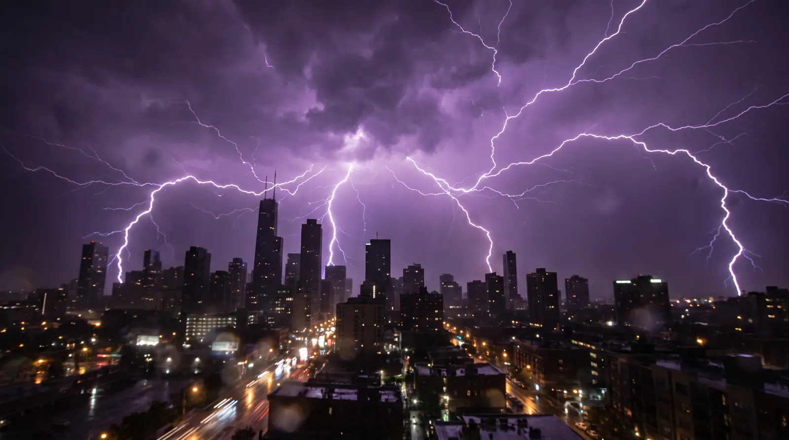
Where lightning maps get their data
- Ground sensor networks. Antennas spread across a region hear the radio burst every lightning discharge gives off. Timing the arrival at several sensors pins down where it happened, usually within seconds. National networks are run by commercial operators, which is why most real-time strike maps are commercial products.
- Satellites. NOAA's GOES-East and GOES-West carry the Geostationary Lightning Mapper, which sees lightning flashes optically — including in-cloud lightning — across the Americas.
Reading a lightning map
Most maps color each flash by age — bright for the last few minutes, fading over half an hour — so a moving cluster of fresh strikes shows where the storm is heading. Cloud-to-ground strikes are the dangerous ones for people on the ground, but a storm producing lots of in-cloud lightning is usually strengthening.
What the map won't tell you
A strike map shows where lightning was. It doesn't tell you whether a storm is severe (hail an inch or larger, or winds over 58 mph) or tornadic — that is what National Weather Service warnings are for. And any thunder you can hear means lightning is within reach, whatever the map shows.
Track storms near you
Each city page on this site combines the live NWS alerts for that location, a 48-hour thunderstorm outlook from weather models and the history of hail, damaging-wind and tornado reports around it. For alerts on your phone, Lightning Tracker for iPhone follows storm risk where you are.
Frequently asked questions
How do lightning maps detect strikes?
Ground-based networks of radio sensors pick up the electromagnetic pulse from each discharge and triangulate its position; the GOES-East and GOES-West weather satellites also carry a Geostationary Lightning Mapper that detects flashes optically from orbit across the Americas.
Does this site show a live lightning strike map?
No. We show live National Weather Service alerts, a 48-hour thunderstorm outlook and official storm reports for each city. Strike-by-strike data comes from commercial networks; the Lightning Tracker app shows storm risk and alerts for your location.
Is lightning close enough to be dangerous?
If you can hear thunder, you are close enough to be struck: lightning can reach about 10 miles from a storm. Go indoors and wait 30 minutes after the last thunder.
Sources
Get storm alerts on your iPhone
Lightning Tracker shows storm risk around you, live severe-weather alerts and how close the storm is — free on the App Store.
Storm trackers for the stormiest cities
Updated Sep 29, 2026.